|
SAMUEL
MIKOVINI
250th
ANNIVERSARY OF THE DEATH
COMMEMORATIVE
COIN
SOLD OUT
Samuel Mikovini, a renowned scholar,
engraver, mathematician, surveyor, astronomer, cartographer,
water-engineer, architect, builder and teacher was a leading
representative of science and technology in the 18th century.
He was born around 1686 at Turicky (now
Cinobana). He learnt engraving at Nuremberg, and later studied mathematics
at university in Aldorf and in Jena. He acquired cartographic training at
the military academy in Vienna.
In Nuremberg, he showed that he was a
good engraver and a gifted artist. He published note-worthy series of
engravings-views of Aldorf and Nuremberg. The engravings of Aldorf,
published in 1723, also include a map of the district. From 1725, he was
provincial mathematician in Bratislava. In his period, as imperial and
royal surveyor, he devoted most of his attention to improvement works,
especially anti-flood works on the banks of the river Danube and Vah, work
to secure their navigability, and regulation work near Tata.
He also concerned himself with
astronomy at an observatory which he had established at his home in
present-day Laurintska street in Bratislava. He also used the results of
his research in Astronomy and map-making.
Mikovini made a significant
contribution to Hungarian map making. He relied on his own measurements
and used a unique cartographic method, based on four basic
principles-astronomical, geometrical, magnetic, and hydrographic. His work
was significantly influenced by another renowned Slovak scholar of 18th
century Hungary, Matej Bel. Mikovini engraved a map of Demanovska Cave and
several illustrations for Bel’s book "Messenger of Old and new Hungary," published in 1723. In 1731. the Emperor Charles VI
entrusted Mikovini with creating and engraving maps for Bel’s greatest
work, the NOTILIA HUNGARIAE HISTORICO-GRAPHICA. Mikovini created the first
relatively modern maps of individual provinces of the kingdom of Hungary.
He also contributed to the work with illustrations especially views of
towns and castles. When determining geographical longitude in the 17th
century, various basic (zero) meridians were used. Mikovini decided to
create his own zero meridians for Hungary, especially for each map. For
example the zero meridian for the map Borough of Bratislava passed through
the northeast tower of Bratislava Castle.
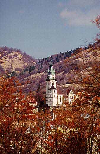
He made a significant contribution to
the development of mining in central Slovakia, helping it to achieve a
place among the most technically developed in Europe at that time. He was
a leading expert on the construction of reservoirs, mining machinery,
foundries, and mills. He made maps and plans of mines, and led the
planning and construction of a system of reservoirs for mining purposes in
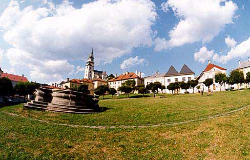
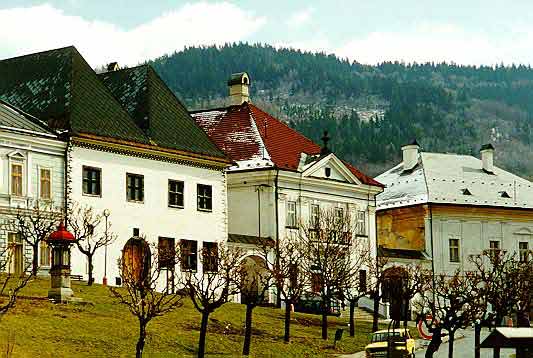
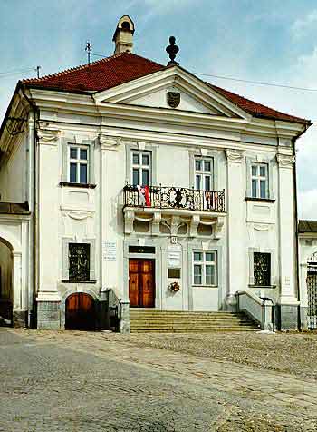
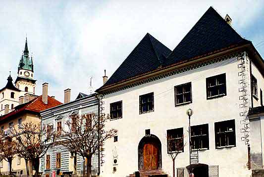
Banska Stiavnica. From 1735, he was the first director and professor of
the school of mining at Banska Stiavnica, the first technical university
in Europe. He lectured on mathematics, mechanics, hydraulics, and
surveying methods and supervised practical work in land and mine
surveying.
From 1735, he was a member of the
Prussian Academy of Sciences in Berlin. He also worked as an engineer and
builder of roads and bridges. During the Austro-Prussian war, the Empress
Maria Theresia employed him as a military engineer. He designed and built
defensive and fortification works on the Moravian-Silesian frontier. In
1748, he carried out regulation work in the area of Komarno, and at the
time devoted attention to archaeological research. He studied and
described the remains of the Roman fortress of Brigetio, and made a plan
of it. Various buildings were erected according to his plans. In 1749, he
prepared plans for construction of a royal palace in Buda, and carried out
preparation of the castle hill and construction of water treatment works
for it. In 1750, he carried out anti-flooding work on the river Vah.
During the work, he became ill and died on March 23rd 1750 at a now
unknown place on the road from Trencin to Banska Stiavnica.
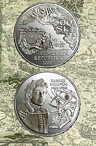
The obverse of the coin depicts part
from Mikovini’s map of the County of Bratislava from 1773, with
allegorical figures and Bratislava Castle. In the upper part is a detail
of the map with the contemporary names of the city of Bratislava-Posony
and Pressburg. The face value of the coin-500Sk-is placed on the right,
with the state coats of arms below it. On the lower margin of the coin is
the name of the state SLOVENSKA REPUBLIKA, with the date of
issue-2000-below it.
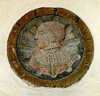
The reverse of the coin shows portrait
of Samuel Mikovini, with a surveying instrument, a solar system motif, the
name SAMUEL MIKOVINI and the years of his birth and death 1686-1750.
Nominal value: 500Sk
Material: Ag 925/1000
Cu 75/1000
Weight:33.63 g
Diameter: 40 mm
Edge: Infuse
inscription:KARTOGRAF-MATEMATIK-STAVITEL…(cartographer-mathematician-builder…)
Number of pieces minted:11,600
standard 10,000
and 1,500 PROOF
Design: Ing.
Milan Vircik
Engraving: Filip
Kuzimin
Producer: Kremnica
Mint
NATIONAL BANK OF SLOVAKIA
ONLY FOUR PROOF SETS
are available at
US $59.95
each plus
US$5.95 shipping and handling
SOLD OUT
Vladimir Linder
3804 Yale Street
Burnaby BC
V5C 1P6 Canada
Reserve by phoning or fax:
1-604-291-8065
E-mail: vlinder49@shaw.ca
GO BACK TO
SLOVAKIA CURRENCY
GO
BACK TO SHOPPING
|